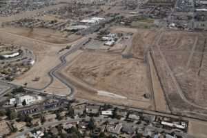
[Project Complete]
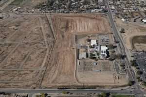
The Louisiana-Gibson Regional Drainage Facility is at the southeast corner of Louisiana Blvd and Gibson Blvd. Construction started in September of 2018.
[November 2020]
[July 2019]
[June 2019]
[September 2018]
[November 2018]
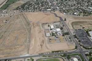
[Project Complete]
The Louisiana-Gibson Regional Drainage Facility is at the southeast corner of Louisiana Blvd and Gibson Blvd. Construction started in September of 2018.
[November 2020]
[July 2019]
[June 2019]
[September 2018]
[November 2018]